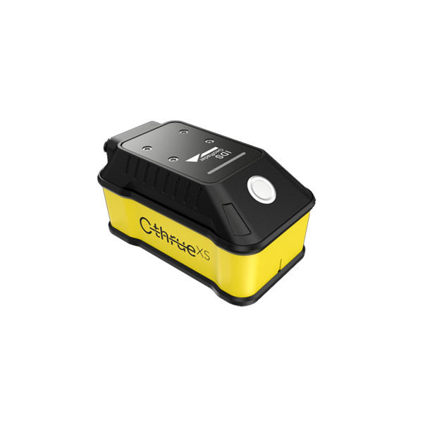

C-thrue GPR 철근탐사기 all-in-one GPR for concrete structures
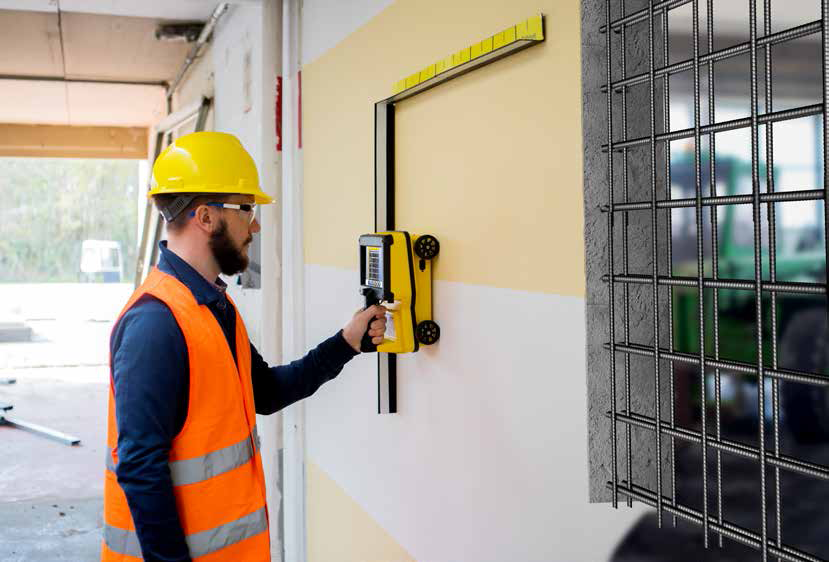
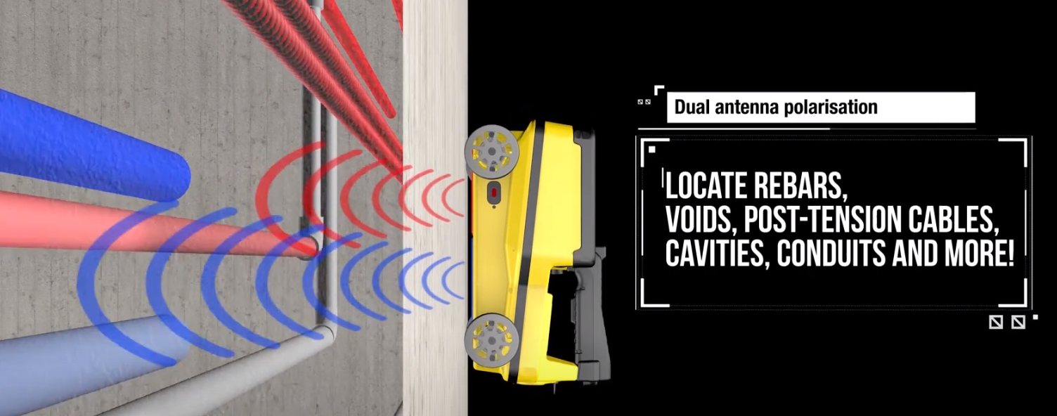
- 철근, 동공, 케이블 등 탐지
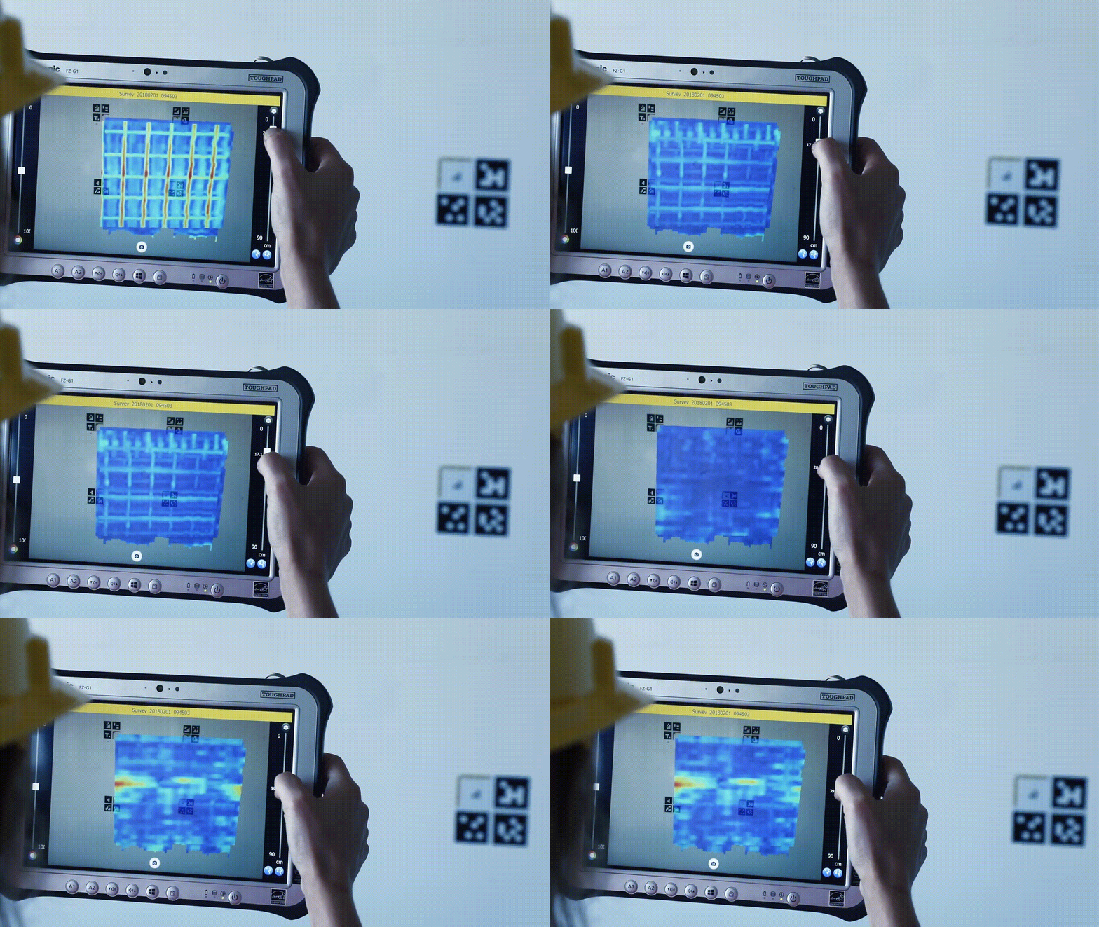
- 첫 번째 철근 층 뿐만 아니라 그 아래 철근 층도 탐지 가능
- Dual polarization
- High frequency: 2.0 GHz
Information
| Sensor Frequency | 2.0 GHz |
|---|---|
| Number of Antennas | 4 |
| Antenna Polarisation | Horizontal and Vertical |
| Number of Radar Channels | 2 |
| Scan Interval | Up to 10 scans/cm |
| Depth Range | Up to 80 cm (up to 31.5 in.) |
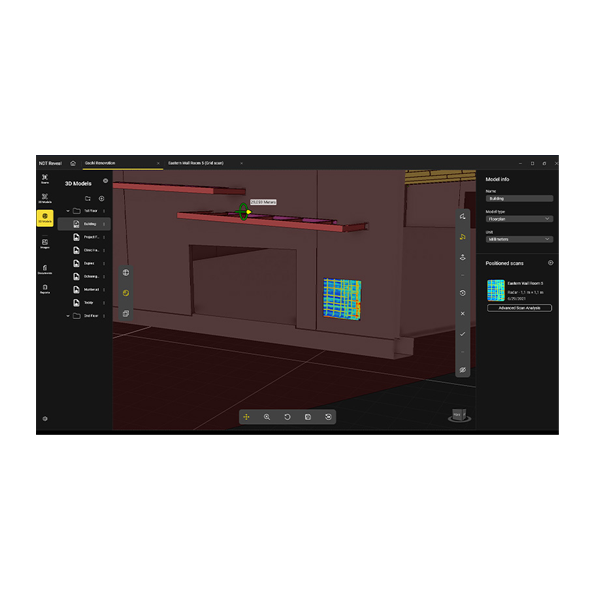
| Display modes | B-Scan and C-scan (radar tomography) |
| Positioning system | “Virtual Pad” (based on 3 High safety - Class 1 laser sensors with reflective bars) |
| AC Power Conduits Detection | EM sensor integrated (50/60 Hz) |
| Battery | Li-ion battery, 15V, 3.2Ah, 3-hour runtime |
| Data Storage | 32 GB |
| Connectivity | USB, Wi-Fi |
| Operating Temperature | -20°C to +50°C (-4°F to +122°F) |
| Storage Temperature | -40°C to +60°C (-40°F to +140°F) |
| Environmental | IP65 |
| Dimensions (length x width x height) | 285mm x 200mm x 160mm (11,2in x 8,6in x 6,3in) |
| Weight | 2.4 kg (5 lb) with battery |
| Display | 7.0 inches TFT multi-touch |
| Drop Resistant | Compliant with MIL-STD-810G |
| C-thrue software | Quick start-up Real time radar data acquisition, processing and visualization in B-Scan and C-Scan Real time feature marking, management and editing tool Rebar/Void automatic discrimination VirtualPad * - Positioning & navigation system Visualization of C-scan (radar tomography) Real time diagnose of radar and the other devices Metric and imperial units Available in more than 20 languages Real time Power conduit sensing display Encoder Calibration |
| C-thrue External Controller | Remote control of C-thrue Representation of results in Augmented Reality (when used with Virtual Pad) Display: 10.1 inches Drop resistant: 1.8 m (5.9 ft) Connectivity: 4G LTE, Wi-Fi Environmental: MIL- STD 810G and IP65 |
| C-thrue Handle | Telescopic aluminum pole 1.8 m (6 ft) Remote control buttons |
| 유튜브 | https://www.youtube.com/embed/CX8RLN5TSS4 |
| 철근탐사에 사용해야하는 이유 | https://blog.naver.com/candhinc_geo/223179830708 |

